3rd November 2016
At sea between Rum Cay and Cape Santa Maria, Long Island; anchored at Calabash Bay.

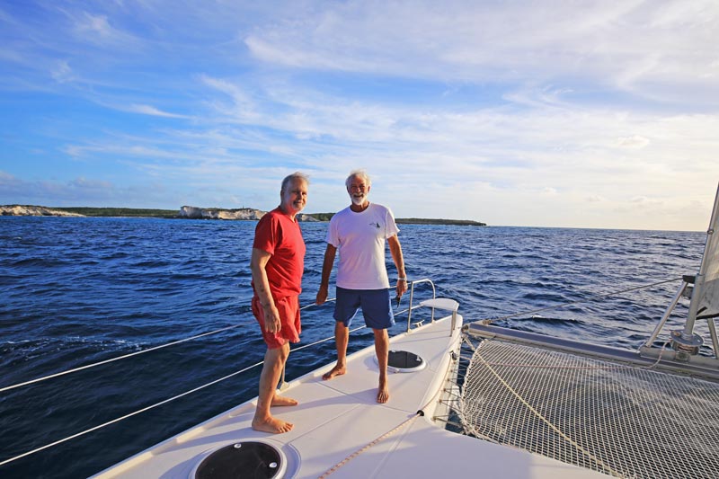
Captain Dave at the helm of Destiny II with Josiah and Captain Tim behind him.
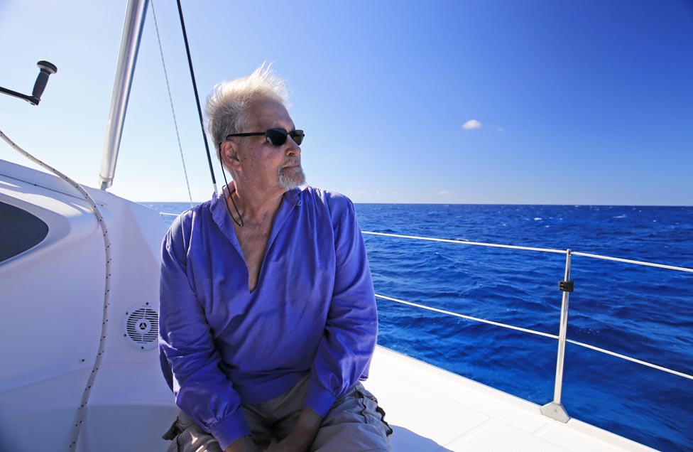
Josiah on board Destiny II.
Up this morning before sunrise and we meet the wind hard against us. After an expedition council, we’ve decided to skip San Salvador until the end of the expedition when we hope the wind will be more cooperative. Now we’ve weighed anchor to head southwest with a good brisk wind to Cape Santa Maria at the northern end of Long Island. Just south of this cape lies Calabash Bay south of which we hope to find fresh vegetables and where Gabriel Kulcsar, our webmaster and photographer, departs to return to his family on Providenciales. Some days later we’ll be joined by Ben Winkler, a professional photographer Captain Dave has recommended.

Gabriel’s view of Destiny II from the height of Santa Maria’s crow’s nest.

The colourful Anglican Church on Rum Cay.
Destiny II approaches Sandy Point, Rum Cay, from the east.
As we sailed slowly by a Columbus-suitable anchorage east of Sandy Point, Rum Cay, Gabriel ascended the mast again in a bosun’s chair and announced that he could see both Conception Island and Long Island, the latter at a distance of 18.5 nautical miles. A watch in the crow’s nest of the Santa Maria with similar weather could do the same.
As we headed to Calabash Bay, we noted the entrance to the shallow water behind Newton Cay at the north end of Long Island. While there is a Columbus-suitable anchorage before this creek, we also noted a more protected anchorage just south of it and just north of Calabash Bay. Admiral Morison indicates the suitability of all three anchorages. However, if the wind was blowing from the northwest toward the southeast, as I’ve translated the passage. None of these anchorages would be without hazard.
Josiah and Captain Tim off Cape Santa Maria, Long Island.
In the days to come we shall examine the area before Burnt Ground on the windward side of Long Island and then Little Harbour before the settlement of Roses to the south.
Respectfully submitted,
Josiah Marvel
Expedition scholar
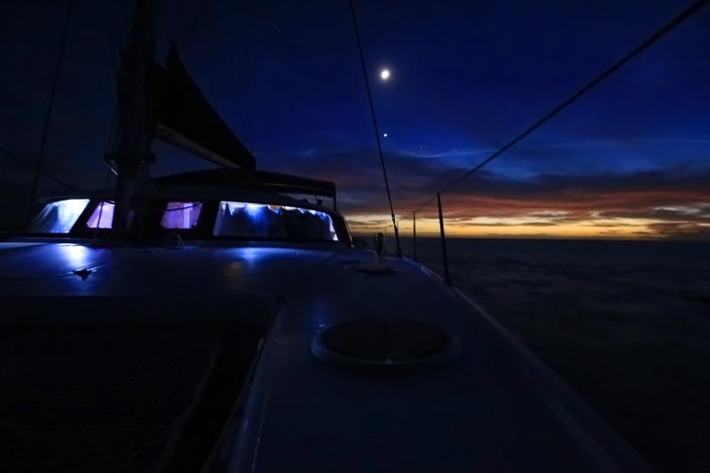
Sunset over Calabash Bay, west coast of Long Island.